Mid Coast

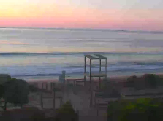
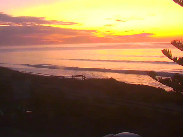
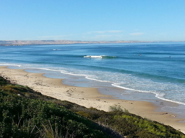
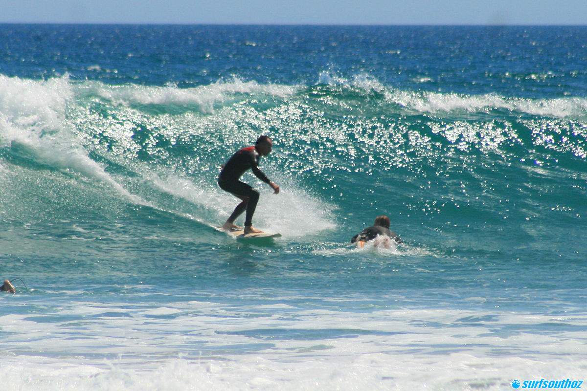
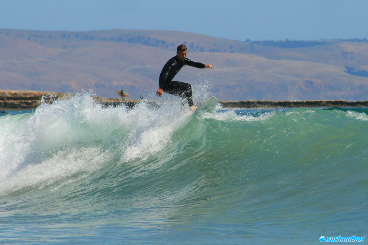
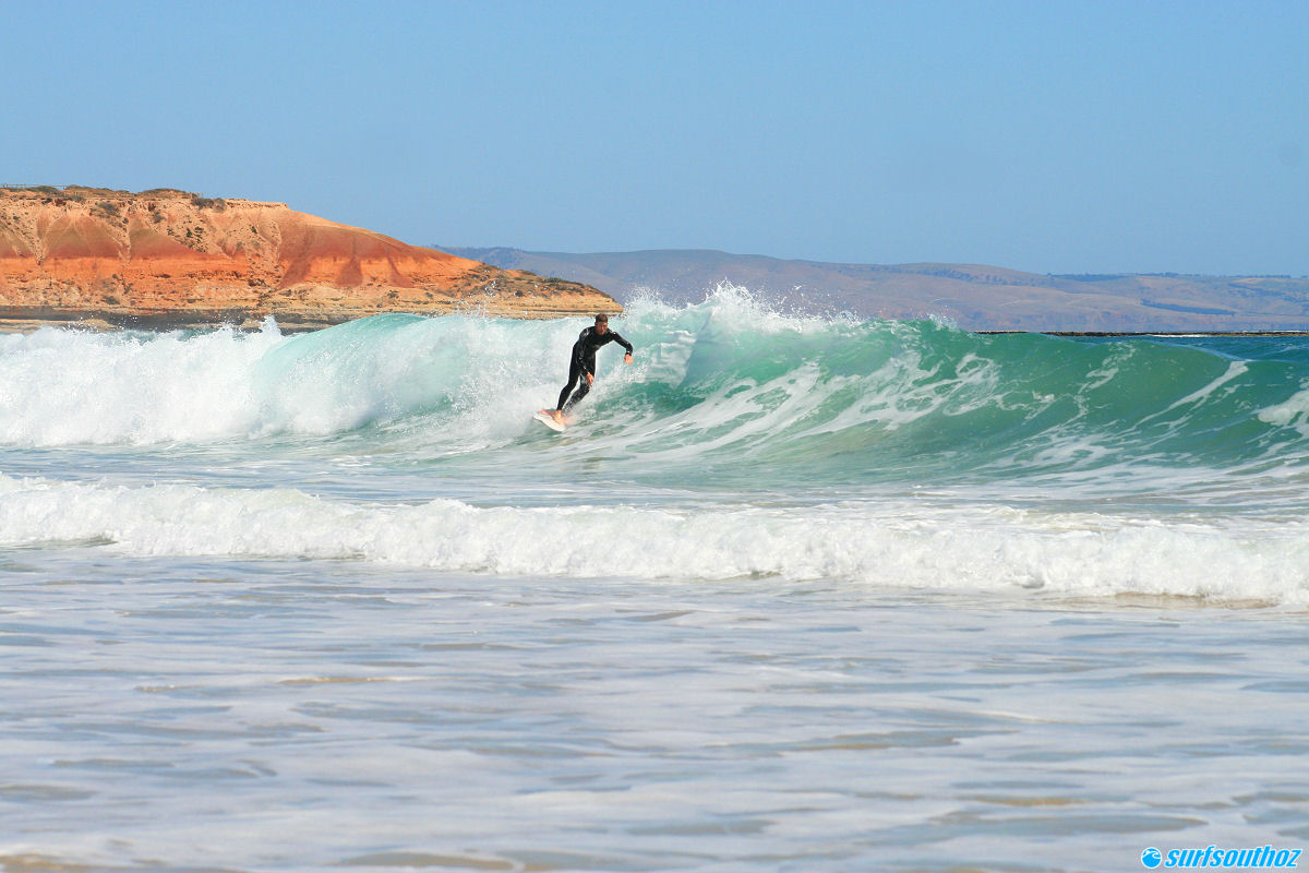
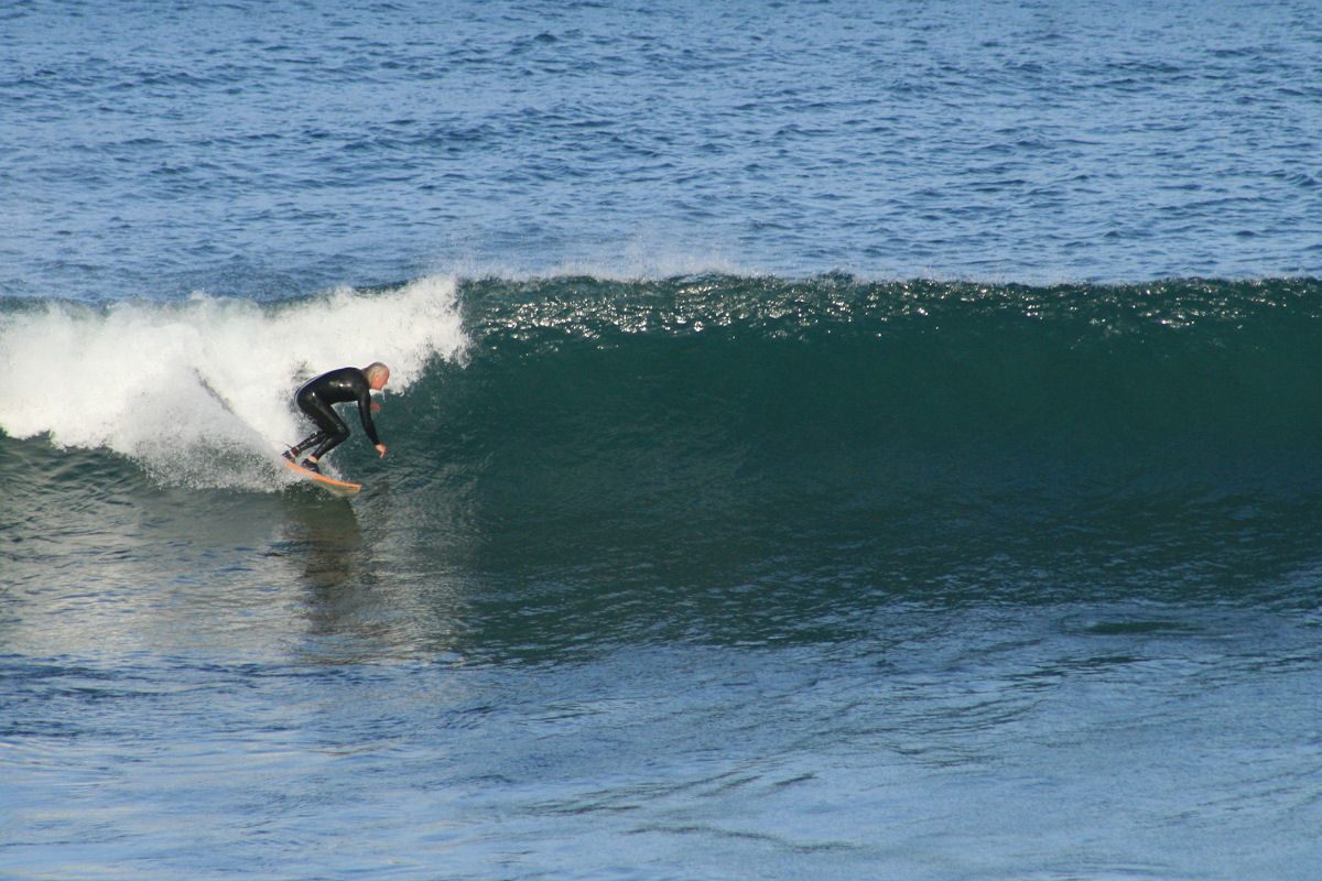
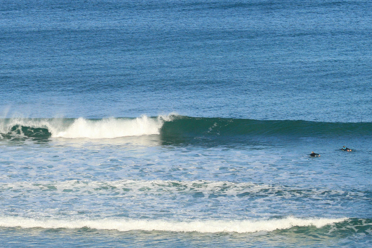
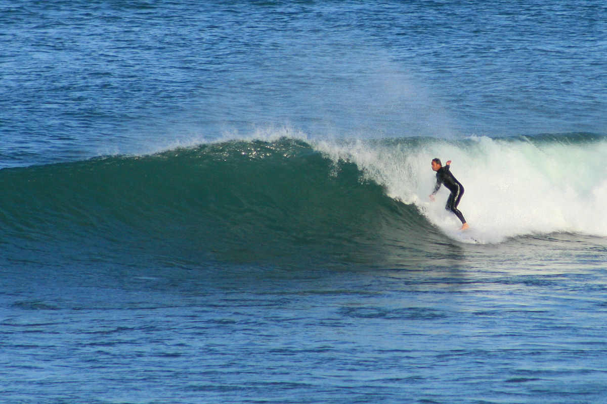
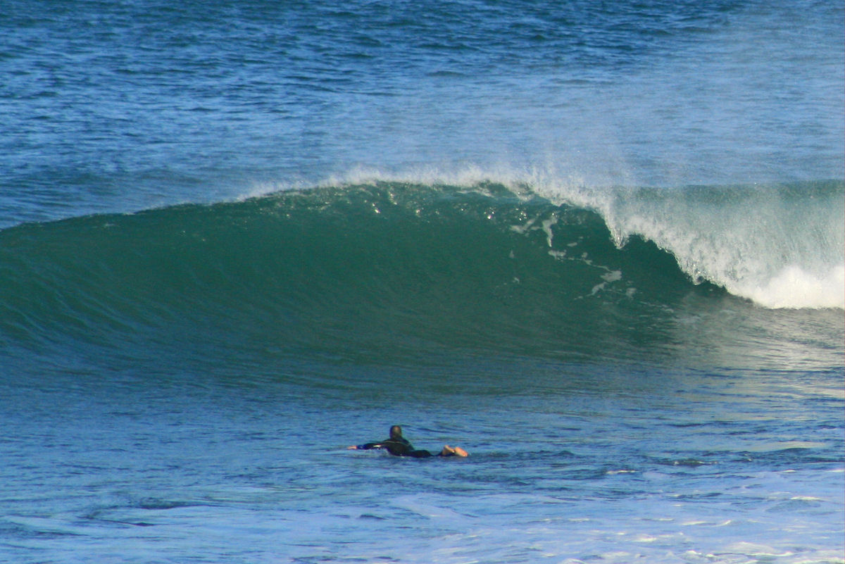
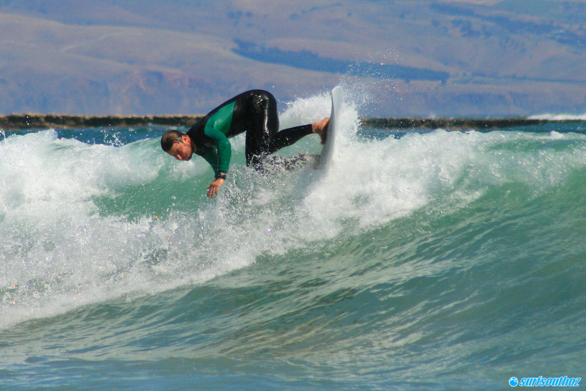
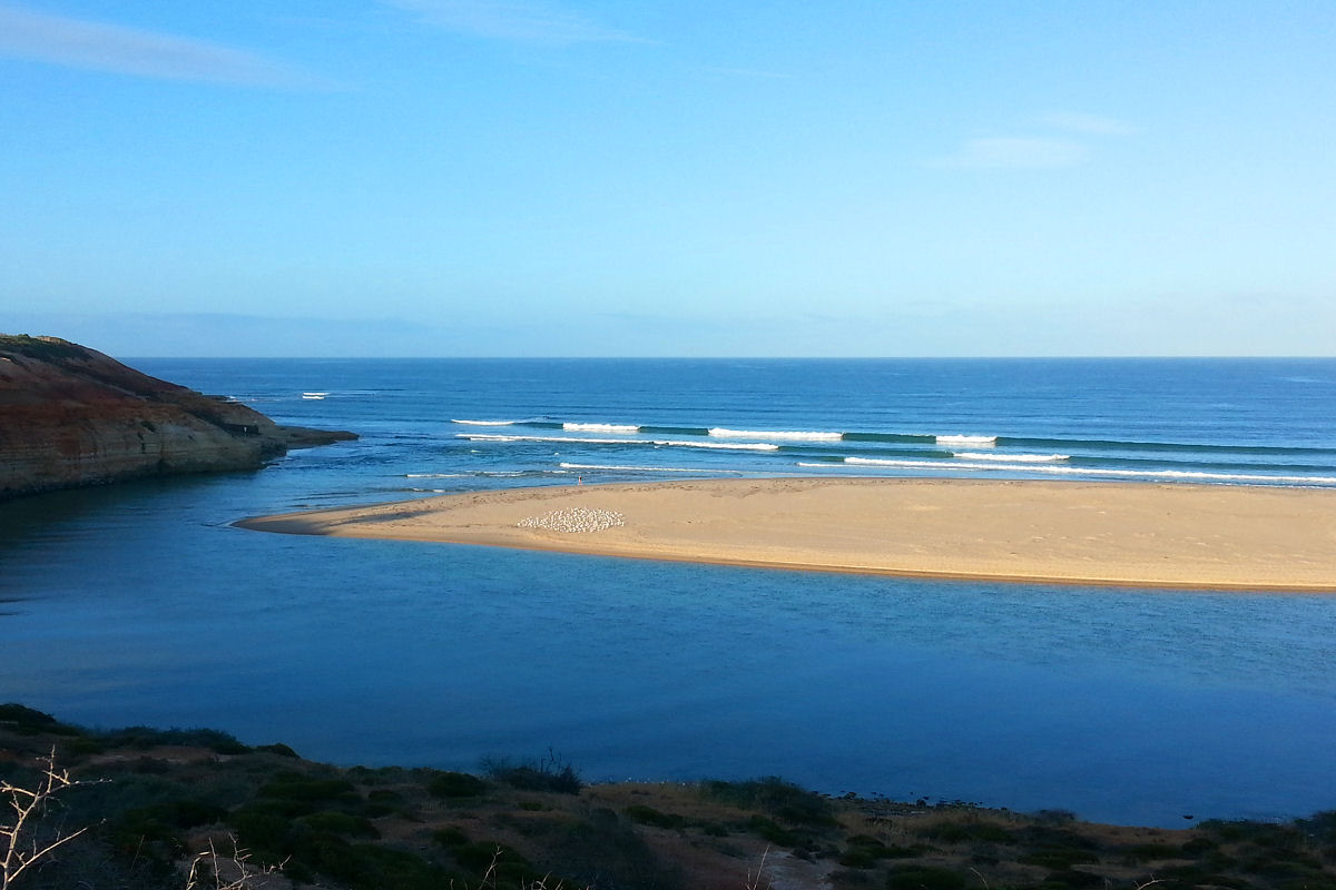
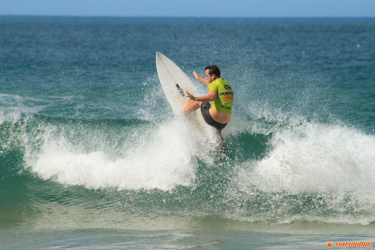
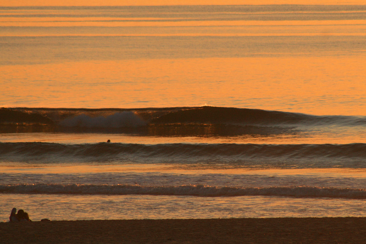
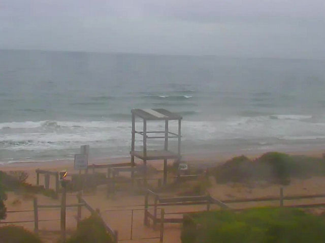
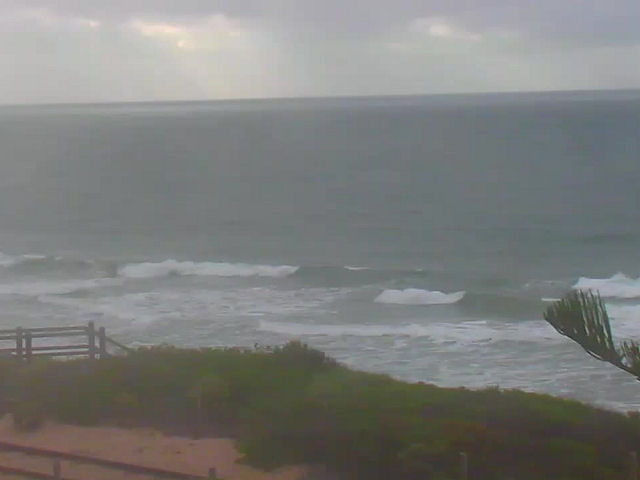
Conditions are clean on the Mid Coast early with SE winds around 15 knots, and some very small lines of swell . Surf is around half a foot on the reefs, and the tide is heading out until just after 10am. The slow incoming tide may provide a small lift around midday, but most likely surf won’t get much bigger today. Winds will have more South in then from early arvo onward, and add a few bumps along exposed stretches, before shifting back to a fresh SE land breeze in the evening.mid1

mid2

0

The dirty dozen – best pics from 2015

January

jan

A sneaker swell on January 4 arrives late, and the place is deserted.

Feb

Image66

Banjar surf challenge at Waits

March

Image39

First whiff of winter with warm water and sunshine at Cliffs on the South Coast.

April

Image197

Grommet froth at Seaford on the 17th

May

Image38

Mark Smith picking one off at Seaford reef

June

Image170

Waits, pumping on June the 5th

July

Image229

Classic winter conditions at Day St on July 19th

August

aug

Waits winter goodness on August 8

September

sep

Spring looking well and truly sprung at Cliffs on Sept 20

October

hump2

A little bit of Hump magic in Mid October

November

Image135

A fanta sunset after a day of clean waves.

December

hump_keg

The Hump at South Port on New Year’s Eve

0

SA surf outlook Jan 4 – 8 2016

The run of swell we enjoyed over the new year’s period fizzled out into the start of 2016, but there’s some hope later this week.

A large high beneath the SA/WA border is drifting slowly east, which means hot weather and winds trending SE initially, but later swinging to the North.

synoptic_jan5

The bad news is that “later” means the weekend ( most likely Sunday ), and that means a few more days of onshore SE-S winds on the South Coast.

You’ll fair better if you’re headed to Yorkes, with a SW swell in the 1 – 2m range and SE-E winds over the next few days. The swell and wind direction will favour breaks on the Western side of the peninsula.

wam_jan5_fri

The Mid Coast will lift a bit on Tuesday but probably won’t top a foot due to a refracted SW swell. The swell should have a bit more West in it Friday, which may lift size a tad. Winds will be SE, and light in the mornings for the next few days.

0

South Coast

Onshores have returned on the South Coast for the first day of 2016, and SSW winds around 17 knots have created bumpy conditions. Surf is around 2′ along the Middleton – Day St stretch, with a few bigger sets down toward Cliffs and Goolwa. Waits and Parson’s will be bigger but quality will be low at both beaches. The rest of the day will be onshore and messy, swell may build a bit after lunch but it’s not gonna clean up again for a few days. Happy New Year!

sth1

sth2

0

Mid Coast

We’re back to ESE winds around 15 knots on the Mid Coast this morning, and conditions are clean with a few lines of swell still getting up the gulf. Surf is around 1′ on the reefs with occasional bigger sets, and the tide coming in until 0815. The dropping tide will kill it a bit mid morning, but we’ll also probably see winds shift more Southerly and pick up. There should still be some waves on themid1

mid2 
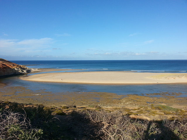
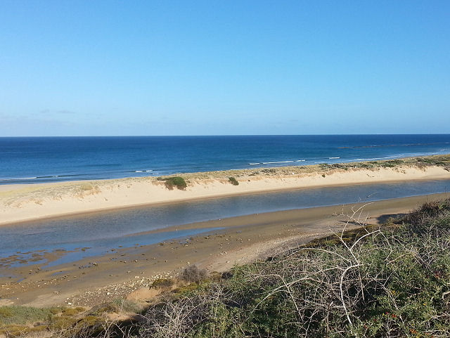
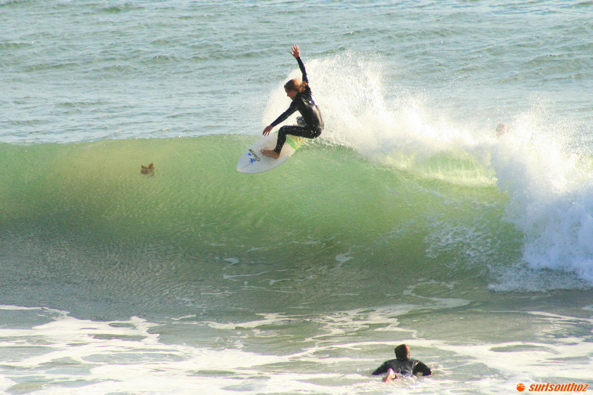
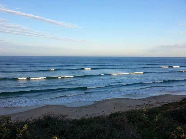
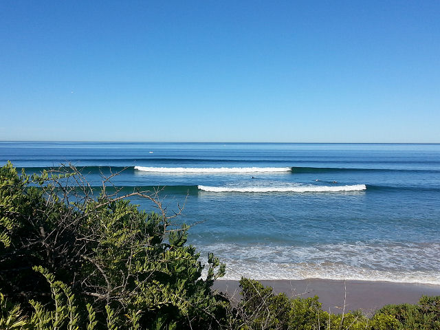
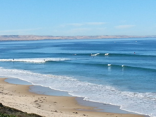
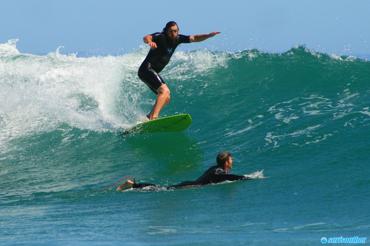
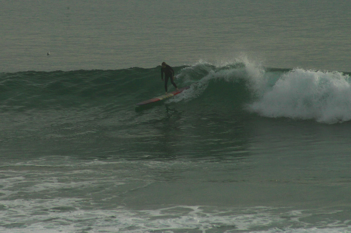
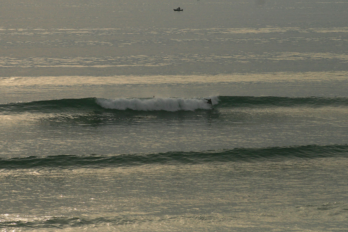
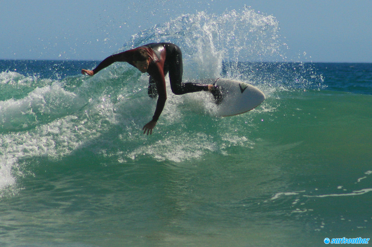
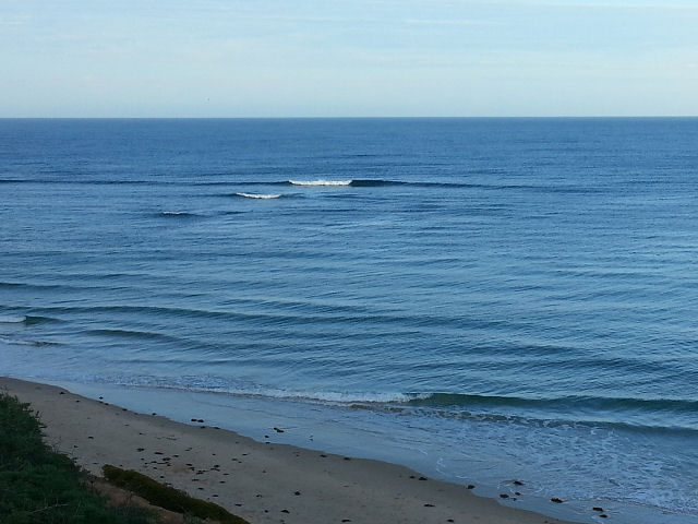
incoming tide after lunch, and the beachies will have waves through low tide – but fresh S-SSW winds look like adding bumps for the arvo. Happy New Year!
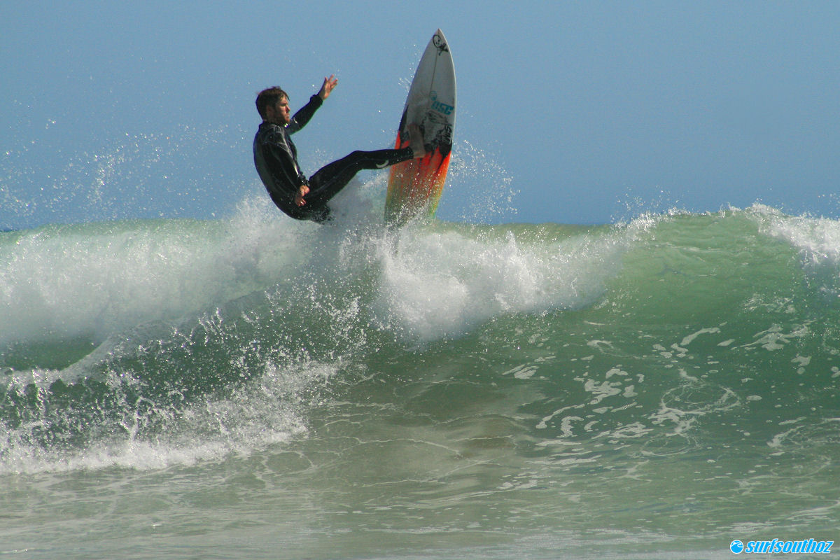
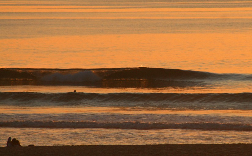
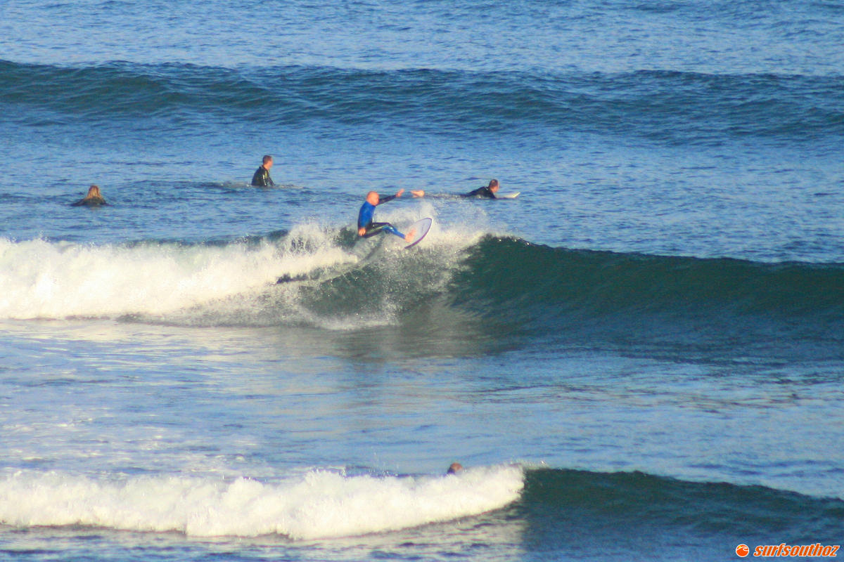
0

South Coast

Conditions are glassy on the South Coast early this morning with no wind, and swell is straighter than it was this time yesterday. Surf is around 2 – 3′ along the Middleton – Goolwa stretch, , Chiton / Gap are around 1 – 2′ and glassy, with Waits and Parson’s also glassy and picking up some bigger sets The forecast predicts offshores for the next few hours ahead of a W-SW change tending more Southerly at 15 knots by mid arvo. Conditions will deteriorate behind the change, the best of it will be the next few hours. Shred Factor 8/10

sth1

sth2

0

Mid Coast

There’s no wind and it’s glassy on the Mid Coast again this morning, and there’s even still a few lines of swell sneaking in. Surf is around 1 – 2′ on the reefs, and the tide coming in until 0745. The dropping tide will kill the swell a bit mid morning, and probably not long after that Northerly winds will kick in and add some bumps. A W-SW change is predicted to roll through early arvo and turn winds onshore, adding chop. It’s not a strong change and winds probably won’t top 15 – 20 knots, easing off again by evening. There’ll be small waves all day, but early is probably the pick of it. Shred Factor 5/10

mid1

mid2

mid3

0

R.I.P. Mid Coast superbank

rivermouth_10th

Rain through early December helped wash a bit of sand out of the Onkaparinga Estuary, and in the second week of the month the makings of the fabled rivermouth left at South Port were underway. In the following week a small swell showed some potential, with waves peeling off for 60 – 80m on the right tide. But it was fast and fickle, and if so much as a drop of water was out of place, the wave immediately reverted to an unmakeable closeout or an endlessly reforming fat hander.  A bigger swell later in the week revealed some improvement, with some waves linking up 2 or three sections to deliver rides up to 100m.

rivermouth_27th

The last hurrah for the bank was following the cool change, on Sunday the 27th. Winds kicked around to the South after the change and helped push trains of peaks down the North-running bank. It was chest high and about 1 out of 4 waves wound off nicely before closing out on the shallow inside section.

In the days that followed, it appeared the winds had pushed more sand off the end of the natural spit, and into the shallow gutter that gave the wave its shape.  The result was a short, but mostly unmakeable first section followed by an inevitable closeout.

rivermouth_newsand

With fading swell and a cool change to sign off on 2015, it’s most likely the elusive left will remain a sad keepsake of its former, brief glory. But… we live in hope…

0

Mid and South Coast, Yorkes surf outlook

Dec 30 – Jan 3

Hot weather and rising temperatures over the next couple of days will preceed a weak cool change on New year’s eve. Light North winds today and Thursday 31st will favour the South Coast, but the small WSW swell on the Mid Coast should continue to deliver 1ft Mally waves and a small lift in size on Thursday. The change will deliver onshore Southerlies down South on New Year’s day so it’ll be bumpy from early on and remain that way with sou-easters persisting right through the first weekend of 2016.

synoptic_dec30

Winds will be better for the Mid Coast in the mornings over the weekend, swell direction will be good for the first 2 days of 2016 with waves around a foot on Friday and maybe a smidge bigger on Saturday.

If you’re headed to Yorkes, probably the next couple of days are your best shot, although New Year’s Day and the weekend will still be OK – just with less options. There will probably be small waves at Pondie over the period, but the S-SE winds will not be too flash for anywhere else with the fading swell heading into next week.

0