Last weekend delivered the expected stormy, and it was good to see the follow-up large Southerly swell eventuate on the South Coast. Conditions moderated slightly earlier than forecast, so west-facing breaks did alright on Tuesday and Wednesday. The South Coast also turned it on with better-than-expected conditions on Wednesday, and clean 4′ waves at several spots between Victor and Port Elliot.
This weekend looks a lot more summery with Easterly winds tending more NE-N on Sunday, and daytime temperatures in the mid-thirties.

The wind will be fresh from the ESE on Friday, swell should lift slightly on the Mid Coast but wave heights probably won’t top 1′. The easterlies will create lumpy conditions on the South Coast, squandering a good swell and surf in the 4′ range at Middleton. A few lesser-known spots might be worth checking out. West-facing breaks over at Yorkes will be clean with surf between 2 and 4′ depending on where you pull up.
The small WSW swell will drop out overnight and swell will ease down South during Saturday. The wind will be East and fresh again in the morning, tending more ENE after lunch and lightening off. The Mid Coast will be virtually flat, surf will be in the 3′ range at Middleton in the morning, easing after lunch. Anywhere exposed will be a bit lumpy.
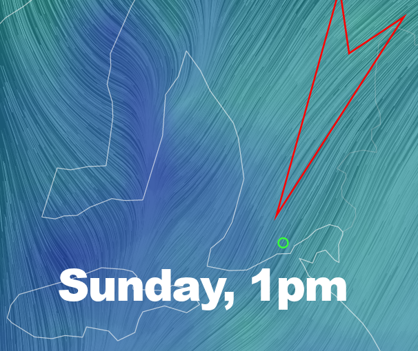
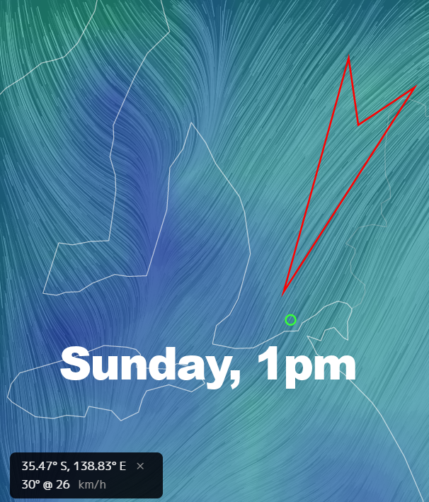
Sunday is probably your best shot at the South Coast. The wind will have some East in it in the morning, but should tend more NNE and offshore after lunch. Wave heights should be around 3′ at Middleton, Parson’s might be the go for fit, experienced Shortboarders. with some good-sized clean waves. The Mid Coast will be clean, but waves will probably only be shin-high.
The working week ( unless you’re a grommy! ) will open to Northerly winds, NNE at 15 knots tending Northerly at 12 – 15 knots after lunch on Monday. A front will slip just South of Adelaide. Wave heights will be smaller on the South Coast, probably back to 1 – 2′ at Middleton. The swell should lift on the Mid Coast and waves might get to 1′, but the Northerlies will add bumps. Possible light east-nor-easter pre-dawn.
The wind will kick ’round to the SE overnight and early Tuesday it’ll be light at 5 – 7 knots. The Mid Coast will start out small at around 0.5′, but a new swell should build after lunch possibly to 1 – 2′. Unfortunately, it’ll come with Southerly winds at 10 – 15 knots, so not as clean. It’ll be onshore, lumpy and probably only 1′ at Middleton.
The WSW swell should hold into Wednesday and the South Coast will also be bigger than Tuesday. Again it looks like fresh Southerly winds will probably spoil the party down South, but there’s a change of SE winds and 1 – 2′ waves on the Mid Coast in the morning before the wind picks up. Tuesday / Wednesday / Thursday would be good for a mini-Yorkes break.
Looking farther ahead, winds will probably be SE-NE on Thursday with easing WSW swell and clean 1′ waves on the Mid Coast. The lumps will continue to plague the South Coast, but wave heights should lift at least.