After flirting with offshores amidst Friday’s thunderstorms and insane rain, we’re back to the dreaded summer sou-easters… and they’re here to stay.
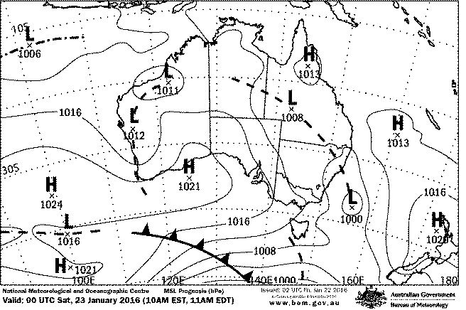
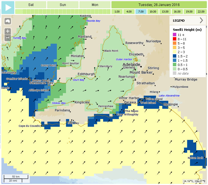
Two large Highs over the bight and Indian Ocean will maintain a SE-E airstream over the next few days, but winds look like they will go light and variable through the middle of Wednesday. The favourable winds for the Mid Coast won’t be backed up by any swell, and it’ll be lucky if it tops shin-high over the next 4 days. A slight increase in SW swell on Australia Day should lift the South Coast to 3 – 4ft and breaks at the foot of Yorke Peninsula should also pick up by a foot or so. The 1 – 2m SW swell will ease again into Thursday.
SE winds between 10 and 20 knots will dominate the next few days, Parson’s Point may be OK in the mornings with lighter winds tending E-SE. West facing breaks at Yorkes look like they’ll range 1 – 3ft.
Later in the week looks like finally delivering a new WSW swell with favourable winds heading into the last weekend of January. It could all go pear-shaped between now and then of course, such is fickle summer weather. More on that early in the week!