The eagle-eyed among you might have noticed that South Australia’s longest-running and most reliable surf report quietly returned to business a couple of weeks ago. Some degree of sanity seems to have returned to coastal areas from mid-May onward, and as water temperatures drop in coming weeks that will hopefully continue.
The height of the pandemic offered some great waves in SA, and those in the more remote parts of the state scored amidst travel restrictions. With barely 2 weeks of Autumn left, there looks like a few opportunities to nab some decent waves before we all are forced to break out the heavy rubber, hoods, and booties.
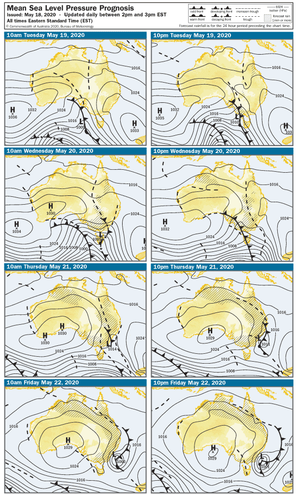
A few cold fronts and troughs will roll across southoz this week, and today probably marks the end of a run of the warm, fine weather.
Early Tuesday will open to 20 knot NNW winds, and the breeze will pick up ahead of a cold front and Westerly change after lunch. Middleton will be clean but exposed stretches will be blown out not long after sunrise with surf around 2′ building 2 – 3′ later. The lingering swell on the Mid Coast will get a top-up but it’ll be bumpy in the morning with the wind. Surf will be around 2′, but it’ll build to a medium sized stormy after lunch with onshore Westerly winds around 27 knots. Part sheltered spots may get a look-in after 3pm.
A second front ( and trough ) will whip the coast around lunchtime on Wednesday, winds will be WNW at 22 knots in the morning shifting onshore Westerly at 27 knots after lunch. The Mid Coast looks around 1 – 2′ and bumpy in the morning, with another medium-sized stormy building after lunch. Middleton will be blown out and 2 – 3′ in the morning, picking up 3 – 4′ later as the swell kicks in. The Bay will be worth a look later, and possibly even The Dump late arvo.
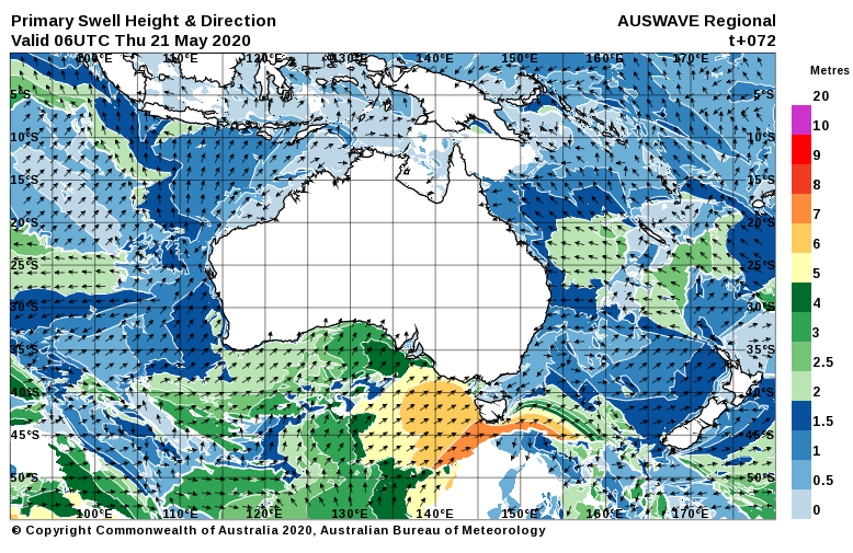
The wind will go more Southerly overnight and early Thursday it’ll be back to 10 knots from the SSW. The Mid Coast will be bumpy but possibly glass with leftover 2′ waves. The dead onshore wind will be less favourable for the South Coast, which is a shame because a new SW-S swell should lift waves heights into the 5 – 6′ range by late arvo. Everywhere will be bumpy. West facing breaks over at Yorkes will have decent swell, but you’ll need to pick somewhere a bit away from the South wind.
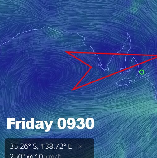
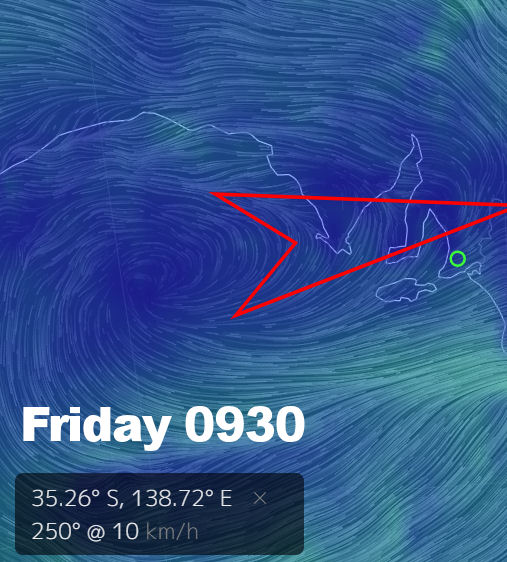
Friday is your day for the South Coast.
The wind will be cross-onshore so not quite perfect, but at 5 knots in the morning it should be reasonably clean early. The swell looks solid too – the Chiton – Knight’s stretch is looking in the 5 – 6′ range, and even the dear old dump should have some decent sized, clean waves. The swell is looking bigger in the morning and backing off by a foot or so after lunch. The wind will tend more SW after 1pm, but it shouldn’t be much over 10 knots all day. The Mid Coast will be lumpy / glassy with surf around 1 – 2′.
Heading into the weekend winds will be more favorable for the Mid Coast and west-facing breaks over at Yorkes. Saturday should open to a moderate SE wind and fading swell, with surf around 1′ on the Mid Coast. The onshores will leave plenty of lumps on the South Coast, with Middleton in the 3 – 4′ range.
On Sunday the breeze will be almost dead East in the morning, so the Mid Coast should be smooth – but waves will only be around 1′. Surf will be lumpy and around 3′ from Middleton to Goolwa, Parson’s will be the pick of it for more expert / fitter surfers.
Gazing into the crystal ball, a new WSW swell will begin to push in at the start of the week, and it could be pretty good along west-facing coasts Tuesday / Wednesday. Winds are too hard to call for now, so check back for an update later in the week.