
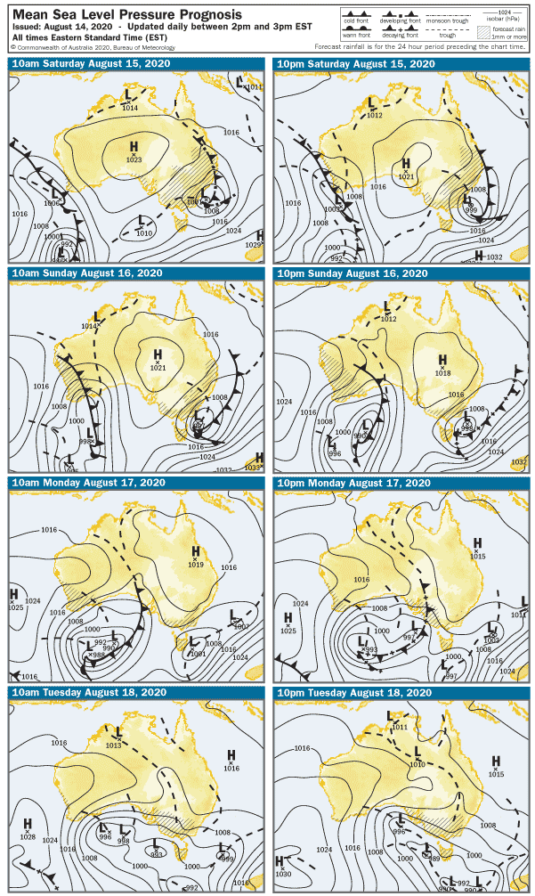
Last week’s forecast turned out to be not far off the money, except for Friday which was a long shot. As we head into the weekend, light winds look set to continue as a large HIGH pressure system moves over Adelaide. So what about swell? That’s a good question…
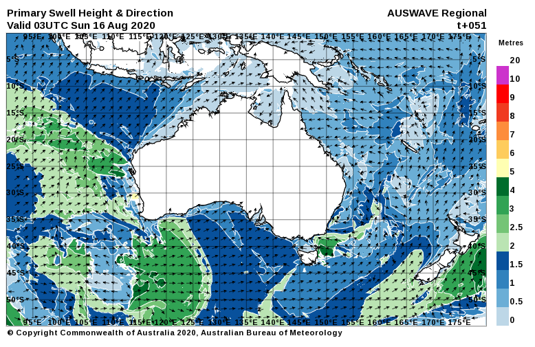
The wind will be light over the next two days and out of the West, trending more Northerly after lunch on Sunday. The swell looks like it’ll have more West in it than South, but the South Coast should still have something surfable on both days.
On Saturday, winds will be around 5 – 7 knots from the WSW, swinging more to the SW after lunch and picking up 12 – 15 knots. The light-moderate onshore wind will keep the Mid Coast bumpy all day, surf should be in the 1 – 2′ range and not very spectacular. It’ll be cross-shore on the South Coast in the morning, but more onshore after lunch with SW winds. Surf is looking in the 1 – 2′ range at Middleton.
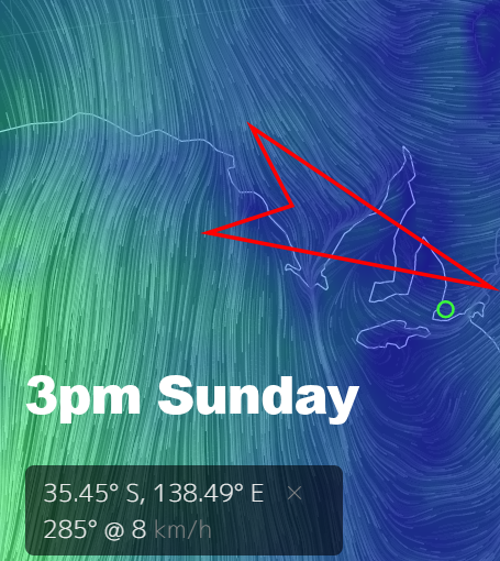
The breeze will be light from the west early on Sunday, the Mid Coast will probably be wobbly with the light onshore, but some 1 – 2′ waves should persist thanks to a WSW swell direction. The swell direction won’t be so great down South, but the wind may be light NW after 2pm so it should be clean. Waves are looking in the 1 – 2′ range at Middleton for most of Sunday, Waits will be slightly bigger on the sets.
SA goes into pre-frontal mode for the start of the week, and the wind will be fresh from the North early on Monday. The Mid Coast will be bumpy and surf will only be around 1′, but it’ll build during the day with a westerly change / cold front mid arvo. The South Coast will probably be blown out along exposed stretches, and the less-than-ideal swell direction will cap wave heights again to around 2′ at Middleton.
Tuesday morning will probably open to WNW winds around 15 knots, picking to 20 -15 knots during the day. The Mid Coast will remain bumpy, with surf around 1′ early building to 2′ after lunch. The South Coast’s run of small waves will continue, with Middleton not much over 1′ and blown out.
A more intense cold front should arrive after lunch on Wednesday, probably bringing a stormy to the Mid Coast. NW winds may be over 30 knots not long after sunrise, and as the front moves through, gale-force West winds look like hammering any west-facing coast. The wind and swell will still be not great on the South Coast, but the swell should build from 1′ early to maybe 2 – 3′ later. The wind should also push messy 3′ surf into Mid Coast beaches. Partly-sheltered spots may be worth a check late arvo.
The front will roll through overnight and conditions should moderate after lunch on Thursday. The wind will be fresh from the SW in the morning, the Mid Coast should have leftover 2 – 3′ stormy waves, easing after lunch. The South Coast will be blown out, maybe 2 – 3′ at Middleton due to a very Westerly swell.
Conditions will moderate toward the end of the week, but at this stage Friday still looks like it’ll suffer SW-S winds and fading swell. That could all change by next week, of course…