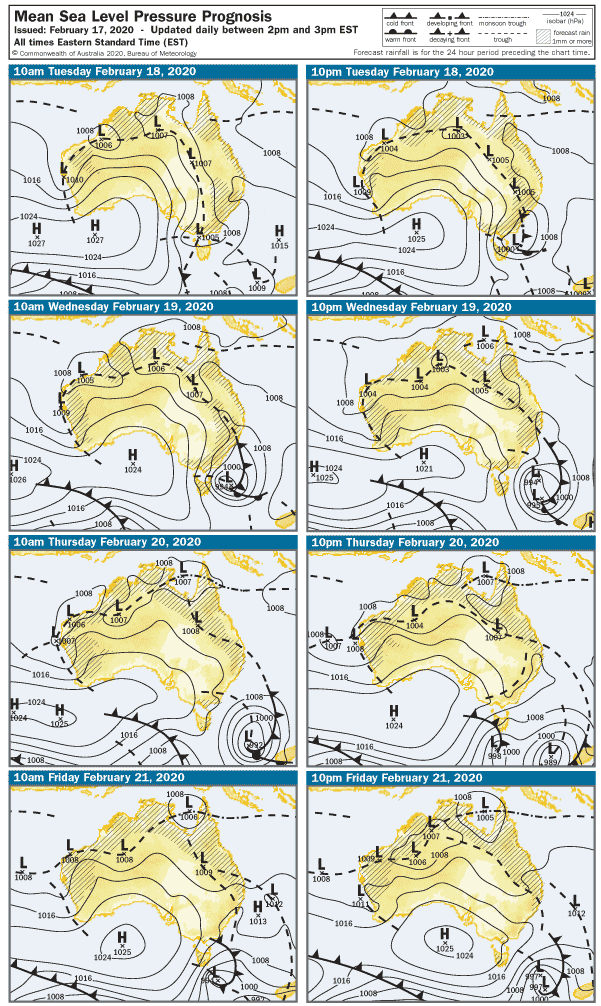
SA’s weather has been affected by fading tropical cyclone Uesi over the last few days, which delivered pumping swell to the East Coast. Meanwhile mornings in SA have been overcast and the weather has been cooler, and surf has been pretty lacklustre with the Southerly airstream settling in over the last forecast period. The next few days look like more of the same.
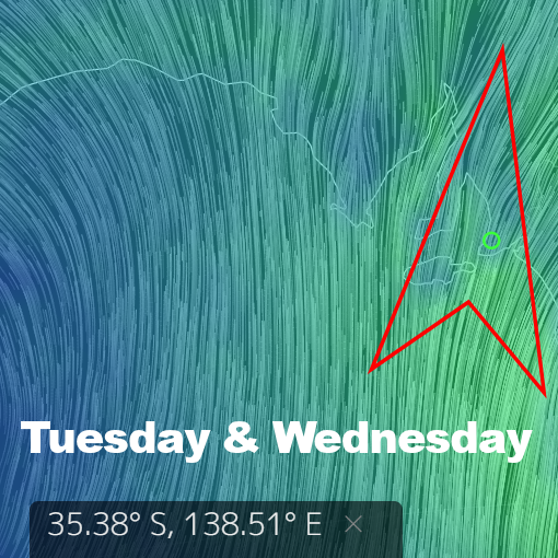
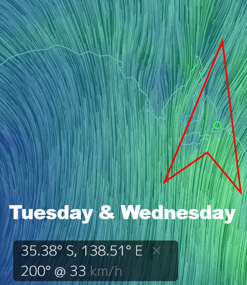
A new WSW swell will build overnight and the Mid Coast should get up around 1 – 2′ on Tuesday. Like last week’s swell though, it’ll come with SW wind early, freshening from the South and creating bumpy conditions on the reefs all day. The west in the swell will be no good down South, expect choppy 1′ at Middleton with onshores up to 25 knots after lunch.
Wednesday will see the continuation of the Southerly breeze, in the 15 – 17 knot range all day. Middleton will pick up to 2′ or so, but it’ll be about s sloppy as it gets. The Mid Coast will be around 2′, but anywhere exposed will be bumpy. There make be a few options along the west-facing coastline over at Yorkes, and the swell will be best Tuesday / Wednesday.
The breeze should tend more Easterly early on Thursday, but the swell will ease overnight. There may be some leftover 1 – 2′ waves on the Mid Coast, and west-facing breaks over at Yorkes will be good in the morning. Middleton will have surf around 2 – 3′ but it will be lumpy with E-SE winds tending SE at 15 knots after lunch.
Friday should dawn to light East winds and a smaller WSW swell, with waves around 2′ on the Mid Coast. Middleton will have lumpy waves around 2 – 3′, but the swell should kick to 3’+ sometime after 4pm. Se winds at 15 knots will make a mess of it. West facing breaks over at Yorkes will be clean, but smaller than the previous few days.
Heading into the weekend, the breeze will stay Easterly on Saturday and probably tend more NE on Sunday. The Mid Coast will hover around the 1′ range all weekend and it won’t be flat… but hardly epic. Sunday may present sei-clean conditions on the South Coast with light NW winds mid-morning, but it’s a looooong shot. Surf should be in the 2 -3′ range at Middleton.
Looking farther ahead, a new WSW swell will start to push in late on Sunday, but probably won’t be visible until sunset. The wind will be fresh from the East in the morning, tending SE at 15 – 20 knots after lunch. Middleton – Goolwa looks in the 1 – 2′ range and lumpy, but there may be a couple of hours where the wind goes NE on Sunday. The Mid Coast will be clean, but flat for the better part of the day.
Monday will be bigger on west-facing coasts, wind looks like SE in the 15 knot range, tending Southerly after lunch.