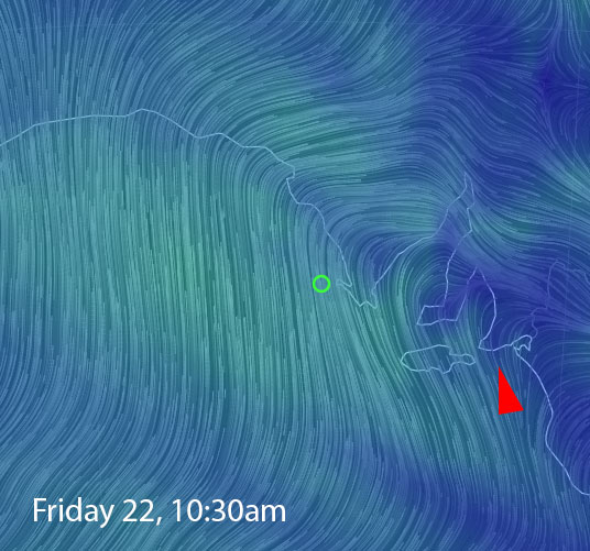
*Update – Jan 20
The crazy summer weather has freaked out the forecast models a bit this week, and the South Coast will start to go onshore earlier than expected. Winds will be light early Friday so there’s still a window with the new swell building overnight on Thursday. Swell direction is not perfect for the Mid but some of it should sneak in, just nothing like last Friday. Winds will be good, tides won’t be so good and rule out several breaks at otherwise favourable times during the day. The next few days, and possibly into the weekend, are still looking good for West facing breaks at Yorkes.
Jan 19
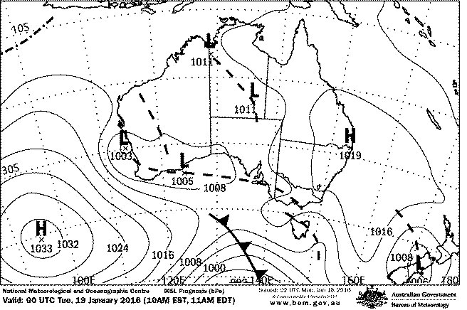
The South Coast has been in a light Northerly airstream over the last couple of days, so there has been glassy conditions in the mornings. Today marks the end of that run as a trough moves across the state. Winds will go onshore later today and back to the dreaded SE overnight, tending more Easterly on Wednesday and Thursday.
Swell direction is not great for the Mid Coast all week, there’s a small refracted swell getting in today that will probably produce similar half a foot waves over the next 2 days. Conditions will be nice and clean with East winds. Friday will see a new SW swell kick in, and some refracted swell may lift the Mid to a foot or so, but nothing like last Friday. NW winds will probably make it bumpy anyway.
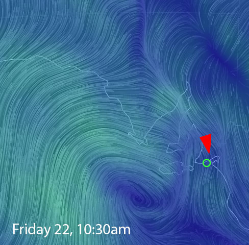
The South Coast on the other hand looks pretty good on Friday, with a 3m SW swell and light offshore N-NW winds for the first half of the day. The Middleton – Goolwa stretch should hopefully get back up around the 4′ mark and clean, Waits and Parson’s will be bigger and pretty solid.
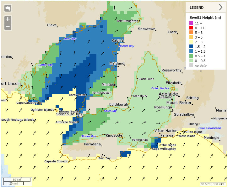
Yorkes will be a bit of a mixed bag over the next couple of days, winds will favour West facing coast up until Friday with surf between 1 and 3 feet. Friday will favour spots that prefer a bit of North in the wind, and like a good SW swell. You can join the dots on that one!
More on Friday.