Last weekend was a little slice of winter bliss, wasn’t it?
The South Coast was in the near-perfect size range with light offshore winds both days, and the weather was great. Even the fickle Mid Coast scored some clean, fun waves early on Saturday, and better still… the joint was practically deserted. Yorkes had very little wind and waves all over the place over the weekend, and most likely, so did the West Coast and KI.
This weekend doesn’t look nearly as good, sadly.
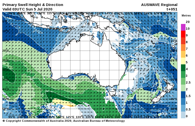
A large WSW-SW swell peaked on Thursday, and it’s on the way down as we head into the weekend. The wind is also easing off, but as I type it’s started raining again. Again.
Early on Saturday the breeze will be back to around 10 knots from the WSW, leaving a few lumps behind along West and South-facing coasts. The South Coast is looking semi-clean early with winds probably light from the West, but by early arvo it’ll turn onshore and bumpy. Wave heights will be back to around 2′ at Middelton, the Mid Coast will have leftover 1 – 2′ waves. 15 knot SSW winds will add bumps everywhere after lunch, by the looks.
The wind will tend more Southerly early on Sunday, probably only 5 – 7 knots all day. Surf will be bumpy with the light onshore wind on the South Coast, and waves will probably only be 1 – 2′ at Middleton. The Mid Coast will only be 1′ early, but after lunch a new WSW swell might lift wave heights by a foot or so. There’s a chance the wind will have a bit of East in it after 4pm, might clean it up a bit for a late one.
As a large HIGH moves west across Southoz the weather will become sunny and warmer ( by “warmer” I mean less colder ), and early on Monday a light land breeze will bring glassy ( and chilly ) conditions. The Mid Coast might manage a few glassy 1 – 2′ waves early, down South should be in the 2 – 3′ range but possibly a bit lumpy / glassy thanks to the East in the wind.
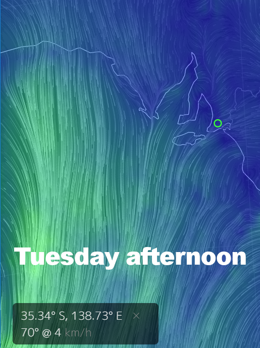
The wind will remain light on Tuesday, tending ENE then more NE later, and not getting much above 5 knots all day. The Fleurieu and Yorkes look glassy for the better part of the day, the Mid Coast will probably only have surf around 1′ though. Middleton will be closer to 1 – 2′, and clean most of the day. West facing breaks over at Yorkes won’t exactly be huge, but nice and clean all day.
Off the back of the HIGH winds will start to swing Northerly on Wednesday and Thursday. The Mid Coast will only be around 0.5 – 1′ on Wednesday, and Middleton isn’t looking a whole lot bigger. Winds should be NNW at 10 – 15 knots.
A Nor-wester will pick up early Thursday and it’s looking 20 knots plus not long after sunrise. The Mid Coast will be bumpy and only 1′, but the swell looks like it’ll lift after lunch. Middleton is also looking small early at around 1′, building 1 – 2′ after lunch.
A SW change looks like arriving around the end of the week, but timing is a bit hard to call at this stage. Mid-week looks OK for Victor, early Saturday might be worth a punt also.