I’m giving last week’s forecast a C+. It probably would have been a “C” if not for the outrageously optimistic call of a WSW swell 5 days out that actually played out, producing a few rare 2′ wave on the Mid Coast and fun, glassy head high waves over at Yorkes today. The swell down South was actually bigger than expected early last week, and there was even a nice window for a few hours on Saturday that I completely missed. Sure… it was small… but it wasn’t quite the write off I’d called. Let’s hope I can rescue last week’s minor pedestrian collision of a surf forecast with some good news for the days ahead.
The weekend looks really nice.
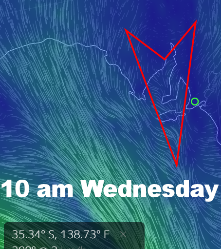
Winds will have a poof of North in them on Saturday and Sunday, but it probably won’t top 7 knots on either day.
Tomorrow on Saturday a fading SW swell should still serve up some 1′ waves on Mid Coast reefs, and it’ll be glassy early. The South Coast will also be clean and glassy early, if not all day. It’s a two-foot Middleton kinda scenario, but quality will be about as good as it gets, and who knows… you may even score the odd 2.5′ set and have to get your hair wet duck diving.
Sunday will be smaller everywhere as the swell fades, but it’ll be clean again with North winds under 10 knots.
The breeze will pick up for the start of the working week, tending NNE at 15 knots early Monday. The swell will drop and Middleton will be back to around 1′, and the Mid Coast will probably be only around 0.5′ and bumpy. A new WSW swell might lift The Mid to 1′ after lunch.
NW winds will pick up to around 25 knots early on Tuesday. The Mid Coast with be bumpy all day, but wave heights should build from 2′ in the morning to maybe 3′ after lunch. The swell direction looks a bit off for the South Coast, and Middleton will probably only;y be around 1′ in the morning, building to 2′ later in the day.
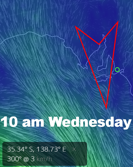
NNW winds look in the 17 knot range early on Wednesday, and by early arvo NW winds may be gusting 27 knots. A great WSW swell on the Mid Coast will really cop it from the wind, but surf may be up to 3′ through the middle part of the day. Anywhere with windmills or anyone with a sail will be loving it.
NW-W winds look closer to 30 knots on Thursday, and a solid WSW swell might even bring some bumpy 3 – 4′ sets to the Mid Coast. The swell should also lift on the South Coast with Middleton in the 3 – 4′ range. Almost everywhere on the South Coast will be blown to bits by the wind.
At this stage it looks like a cold front will swing winds strong WSW into Friday, possibly delivering a stormy. The Mid Coast will be in the 3′ range but it looks like the swell will peak late thursday and ease into Friday. Down South will be bigger but effected by strong cross-onshores, with Middleton possibly in the 4 – 5′ range.
Conditions should settle down heading into next weekend. For now, enjoy a nice, calm early winter Saturday and Sunday.