The last forecast gets a “B” on the report card, not outstanding but a decent effort with slightly tricky conditions over the weekend. Yorkes and even the fickle Mid scored waves, and there were several good days on the South Coast.
This week’s forecast is a bit later than I’d hoped, but on the plus side, it’s closer to the first long weekend in months.
As this goes to press there’s no wind over much of SA and glassy conditions on the Fleurieu and Yorke Peninsulas. Yesterday’s swell has faded and it will be smaller on Wednesday, with winds picking up from the NW and shifting Westerly later at around 20 knots. The Mid Coast will be bumpy from early in the day, and only around half a foot of mostly chop in the morning. The South Coast will be clean early with NW winds in the 10 – 15 knots range, and surf around 2′ at Middleton. The wind will shift more cross-shore early after lunch.
The breeze will kick around to the South overnight on Wednesday, and will be around 5 knots from the South early on Thursday morning. A new WSW swell will lift wave heights on the Mid Coast to 1 – 2′, and there’s a chance of glassy conditions early with high tide at 6:10 am. The breeze will pick up a bit but probably won’t get much over 10 knots all day. It’ll be enough to add bumps on the South Coast, but surf will only be 1 – 2′ at Middleton anyway. West facing breaks over at Yorkes may be OK for a dawny.
On Friday winds will tend light ENE early, and conditions will be clean on the Mid Coast and over much of SW-W facing Yorkes. Some of the WSW swell will stick around but it’ll be smaller at around 1′ on the Mid Coast early. A new WSW swell will fill in during the day, and it should be bigger on the incoming tide after lunch. Middleton will remain around 1 – 2′ and the East in the wind will add lumps. Parson’s will be among the better options.
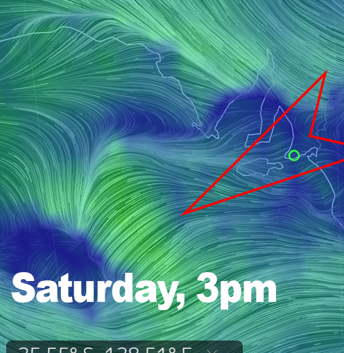
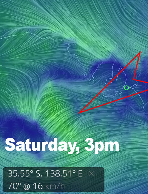
Saturday is looking interesting.
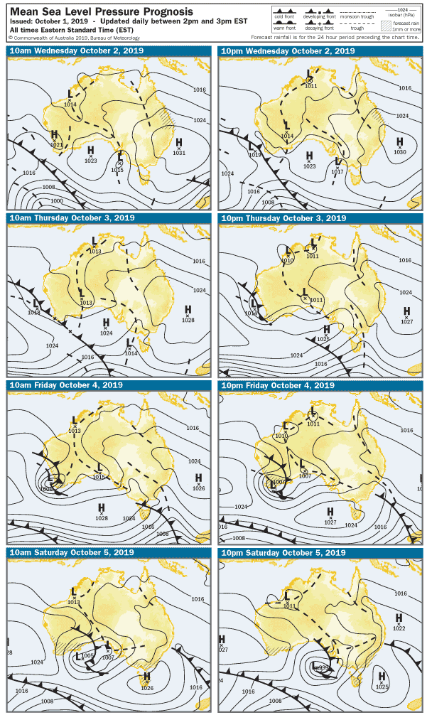
A LOW will enter the west of SA late on Friday night following a trough mid-morning, but the center will be right over Adelaide around lunchtime on Saturday. The wind is looking Northerly in the morning, possibly around 17 knots, but easing until it all but drops out. It’s hard to say when that might happen, but possibly between midday and 3pm seas could glass off. The Mid Coast should have 1 – 2′ waves all day, so if you can pick that magical window it might be a bit of fun. Same goes for Yorkes – South facing breaks will be better early, and west-facing breaks picking up and potentially glassing off mid arvo. The South Coast should also pick up a bit with surf around 2 – 3′ at Middleton, so the whole day should be good over both peninsulas.
Sunday looks like kicking off to 20 knot Westerly winds and choppy 1′ surf along the Mid Coast. The South Coast may be OK early, but will probably become a bit blown out mid-morning. The wind will stay cross-shore at around 20 knots all day.
For the holiday Monday it looks like the wind will finally go ’round to the SW at 20 knots, and swell will lift overnight. Surf will be choppy and around 2′ on the Mid Coast, with waves up to around 3 – 4′ at Middleton. The Bay may be OK on Monday, also possibly The Dump.
There’s no shortage of waves over coming days so make the most of it before the dreaded sou-easters and flatness take hold.