It’s really felt more like Autumn than Spring in SA over the last few days, and it looks like we are in for more of the same.
Last weekend delivered a good WSW swell that saw the fickle Mid Coast bigger than the South Coast both days, with easing winds on Saturday delivering a window of semi-clean shoulder high waves after 4pm. Over at Yorkes Grom Search was run and won at Chinamans with good waves in the 4′ range, as bad winds ruled out west-facing breaks. Westerly winds have been dominant over the last week, and that’s most unusual for SA’s most fickle month for surf. The next week will see more swell… with not a howling sou-easter in sight.
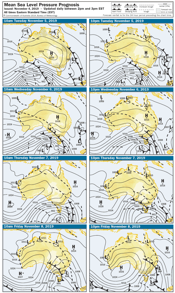
Turning to the charts ( always wanted to say that 😀 ) there’s a series of cold fronts that will cross SA over the coming days, with the strongest toward the end of the week.
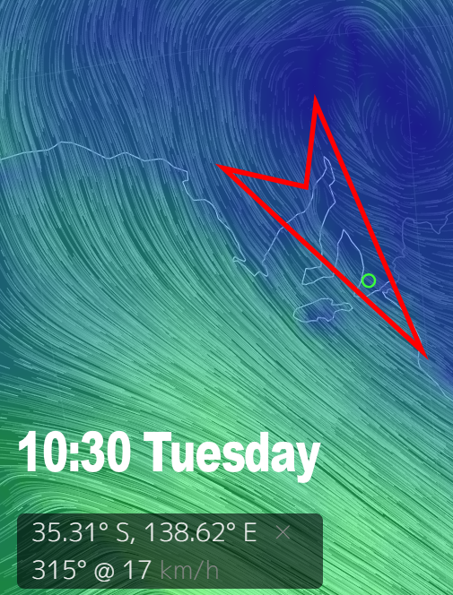
Tuesday is probably the best trade-off in terms of wind and swell – with NW winds tending WNW at 15 knots across the Fleurieu Peninsula. The Mid Coast will be bumpy and should dawn to waves around 2 – 3′, but the South Coast will be clean early with surf around 3′ at Middleton. The wind will shift more westerly at 20 knots after lunch, so exposed beaches may cop a few bumps.
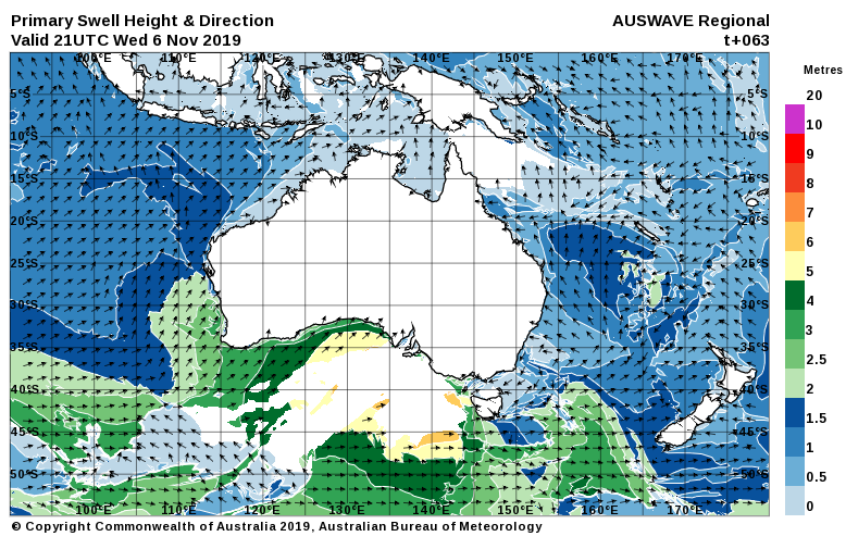
Winds will be up from the WSW early on Wednesday as a front crosses overnight, with gusts around 30 knots. The Mid Coast will be stormy and remain in the 3′ range, but the fading SW swell will leave Middleton around 1 – 2′. The South Coast will be clean but blown out.
Thursday will see the wind go up another notch and tend more WSW early, and the Mid Coast will probably get to head-high stormy size. Sheltered spots will be worth a look, but it probably won’t be enough to light up metro beaches and Jetties. With 30knot plus west winds it’s not looking great anywhere on the South Coast, although the building swell may open up a few more options late arvo / evening.
Strong WSW winds overnight will maintain a solid stormy on the Mid Coast and in the gulf early Friday. Again, sheltered spots including Adelaide’s worst kept secret will be worth a look. The swell should also be bigger on the South Coast, possibly enough for The Dump and the Poultry Coup to get going.
Conditions will begin to ease heading into the weekend, with SW winds back to around 20 knots early on Saturday. The Mid Coast will have messy 2 – 3′ waves easing later, and the South Coast will have wind effected waves at Middleton around 3 – 4′.
Early Sunday at this stage looks like a more Southerly wind, possibly under 10 knots early. It’s likely there will still be leftover lumps on the Mid Coast and waves around 1 – 2′. The South Coast will be chopped up by the onshores with 3′ slop at Middleton.
There’s more swell on the way next week, Monday may offer a little window of light winds before the next run of westerlies. West facing breaks over at Yorkes will bear the brunt of it throughout the forecast period, but there are other spots on the Peninsula you could score. That’s best left to your imagination, and inquisitive, adventurous spirit. 😉