You might have noticed, it’s been slightly damp lately? As Australia stares down the barrel of developing La Niña weather pattern it’s probably to be expected… but October 2020 is looking like a record-breaker. The first week has already broken all prior record rainfall for the month, but we might even give the 1980 record of 105mm a scare if this keeps up. So you might wonder… what does this mean for surf?

I’ve said it before and I’ll say it again… west-facing Southoz coasts are always good in the year a La Niña forms. The trade-off is that they are crap the year ( or two ) after. That certainly seems to have been the case so far, with a fabulous run of clean swell and good waves over at Yorks and that other peninsula – in just the first 8 days of the month. Heck, even the Mid Coast has had more surfable days than not, kicking off with an absolute thumper of a swell on Thursday the 1st.
The next forecast period looks alright as well.

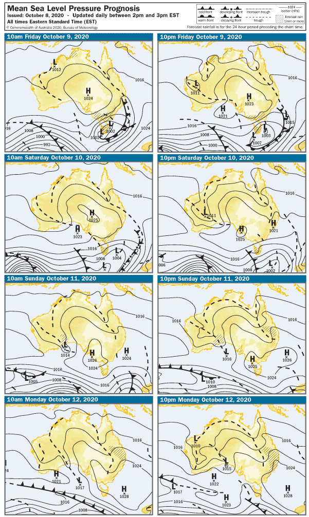
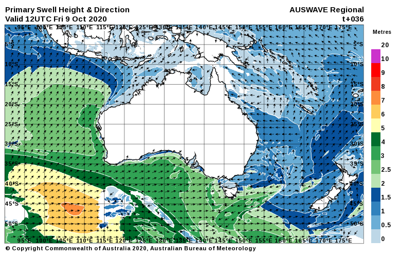
The stormy will be in its death throes on Friday, and the wind will be back to 10 – 12 knots from the West. The Mid Coast will be bumpy with the onshore wind and around 2′ in the morning, but a new WSW swell might deliver a few bigger sets on the incoming tide later in the day. The light – moderate cross-shore wind will be OK for Middleton Bay / Point and the part-sheltered Waits Point, and surf should be around 3 – 4′ at Middleton.
The weekend looks pretty good for the South Coast.

It’ll be semi-clean from Waits to Goolwa early on Saturday with a light NW wind tending Westerly at 12 knots after lunch. Surf should be in the 3′ range at Middleton. The Mid Coast will also have some WSW swell but the West in the breeze will probably add a few lumps to waves around 2′.
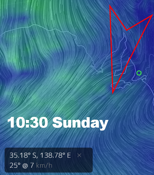
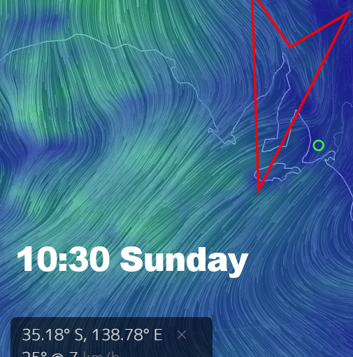
The breeze will have more East in it on Sunday, and that may add few lumps on the South Coast early. The good news is winds will go light and variable after 11am and stay that way all day – possibly creating glassy conditions over the Mid Coast and Yorkes. Speaking of which, it’s not a few days to head over. Middleton will be smaller than Saturday but should have clean 2’+ waves in the morning, easing after lunch. The Mid Coast will be 1 – 2′ in the morning, but there may be a minor pulse on the incoming tide.
Back-to-school week will see more East in the wind, offshore and clean on the Mid Coast with surf holding around 1 – 2′ on Monday. Quiet west facing breaks at Yorkes FTW. The East in the wind will bring some sprig lumps to the South Coast, Middleton should be around 2 – 3′, Parson’s will be bigger and better suited to the wind.
Tuesday looks better on the South Coast with a 2 – 5 knot North wind shifting NW and picking up to maybe 10 knots late morning. Middleton should be back up to around 3 – 4′, but the Mid Coast should also manage a few 2′ sets when teh tide co-operates. The wind won’t be perfect but it won’t make too much of a mess, hopefully. There’ll be no shortage of options in the Innes N.P.
A trough will turn winds to the SE overnight and on Wednesday it’ll probably be 10 – 15 knots. The Mid Coast will be clean but wave heights will beback to one foot or so. Middleton will also have an in-between day, with lumpy surf around 2′.
The wind looks more Easterly on Thursday at this stage, but that could all change by early next week. There’s still plenty of options over the next few days. Enjoy these pre- La Niña days and weeks… because the year after is sure to suck.
